Showers and storms arrive in the north of Tarragona: what to know today

The rain shakes the north of Tarragona again. This Friday, May 15, irregular showers have been detected, some with thunderstorms, which do not go unnoticed.
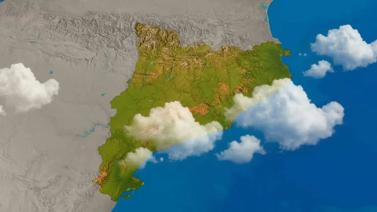
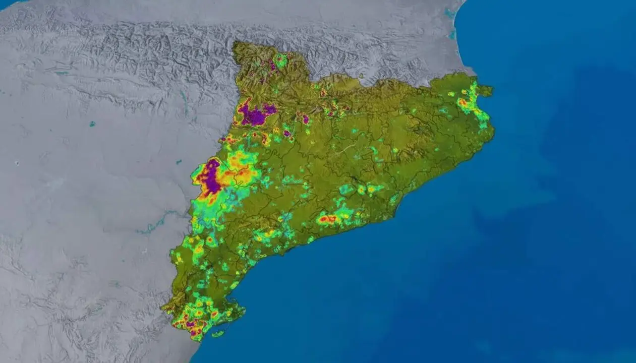
According to the Meteocat weather radar, precipitation has reactivated in specific points in the north of the territory, especially affecting areas near the Tarragona province, where the weather becomes unpredictable and irregular.
Characteristics of showers and storms
Irregular and localized distribution
The showers that have formed are not homogeneous; they appear scattered and punctual. This causes some areas to receive significantly higher intensity than others in a very close radius.
Accompaniment of storms
In some places, the rain is accompanied by storms, with lightning and thunder that can surprise residents. This combination complicates forecasting and can generate punctual risk situations.
Local impact in the province of Tarragona
Most affected areas
The north of Tarragona is the area where most meteorological activity has been observed. Municipalities near the border with Conca de Barberà and Priorat could notice abrupt weather changes.
Consequences for daily life
The punctual showers can cause disruptions in traffic and outdoor activities. The irregularity of the rain makes forecasts more difficult, and it is necessary to stay alert to possible sudden changes.
Data and official monitoring
Source of information
Meteocat has released the latest radar images, where this reactivation of showers and storms can be clearly seen.
Recommendations and prevention
It is recommended to follow official updates and remain cautious, especially in areas where the rain is more intensely concentrated. An umbrella is always a good idea, and careful driving too.
The weather does not forgive, especially when it starts playing cat and mouse with the territory.
Article source: METEOCAT (Meteorology of Catalonia)