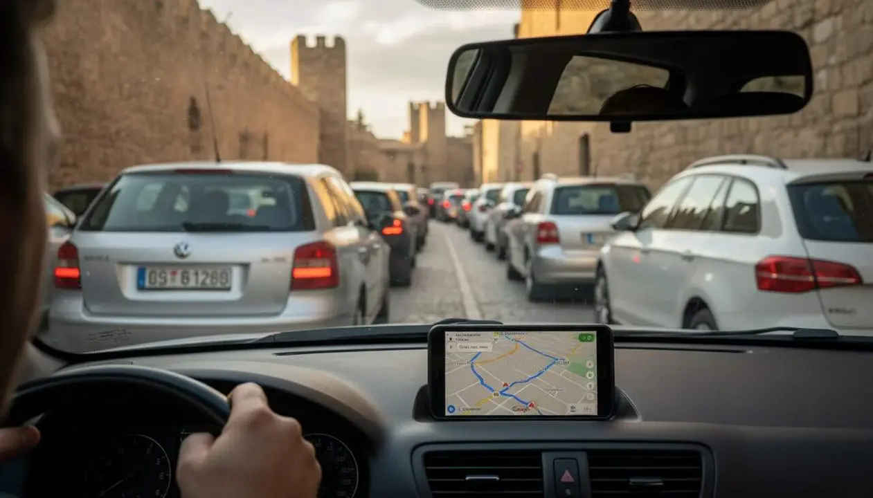
Google Maps diverts cars through the center of Montblanc when there are queues on the N-240 and the AP-2, causing constant congestion. The city council demands a clear warning to prevent drivers from saturating the urban core while trying to avoid traffic jams.
Summer weekends, especially Fridays and Sundays, see the roundabout connecting the N-240, the AP-2, and the C-14, known as the Rifacli roundabout, fill with kilometer-long queues. This causes many drivers to look for alternative routes through Montblanc, but this maneuver not only clogs the town but also does not prevent the traffic jam.
The problem of the Rifacli roundabout
Why does the roundabout matter to the residents of Montblanc?
This roundabout is the nerve center where three important roads meet. When there are queues, traffic gets blocked, which directly affects the town. Residents suffer from noise, pollution, and difficulties moving around, while drivers wanting to save themselves from the queue end up congesting the urban core.
How does Friday and Sunday traffic affect it?
On Friday afternoons, the problem concentrates at the highway exit due to the outbound operation, with queues extending to the AP-2. On Sundays, it happens the other way around: traffic returning from the Costa Daurada causes bottlenecks at the roundabout, making circulation even more difficult. In both cases, the presence of cones and restrictions in the roundabout forces vehicles to make maneuvers that worsen the queues.
The demand from Montblanc to Google Maps
What exactly does Mayor Marc Vinya ask for?
The mayor has requested the Catalan Traffic Service to contact Google Maps so that the application informs drivers that passing through the center of Montblanc is not a viable alternative route. The proposal is to put notifications or incident warnings to prevent vehicles from entering the urban core, especially on days and times of high traffic.
Why hasn’t Google Maps changed this situation yet?
According to the city council, the request has already been made but no response has been received. The complexity lies in coordinating with a global platform that does not always take local incidents into account, leaving Montblanc in a recurring congestion situation while waiting for a definitive solution.
The long-term solution: the pending link between the A-27 and the AP-2
When is the construction expected?
The project to build the promised link that would decongest the roundabout has been stopped for months, pending the Environmental Impact Declaration. Although it now seems this procedure has been completed, bidding and construction could take four or five more years.
What impact would the link have on local mobility?
With this link, traffic coming from the interior and the peninsula could access the AP-2 without passing through the roundabout or Montblanc’s center. This would significantly reduce queues and improve the residents’ quality of life, putting an end to a problem that the ducal town has been dragging on for months.
The current situation is a clear example of how digital tools can worsen everyday life when they are not calibrated to local reality. As long as Google Maps does not adapt its routes and the state does not carry out the pending link, Montblanc will continue to suffer congestion affecting both residents and drivers alike.
Source of the article: Catalan News Agency